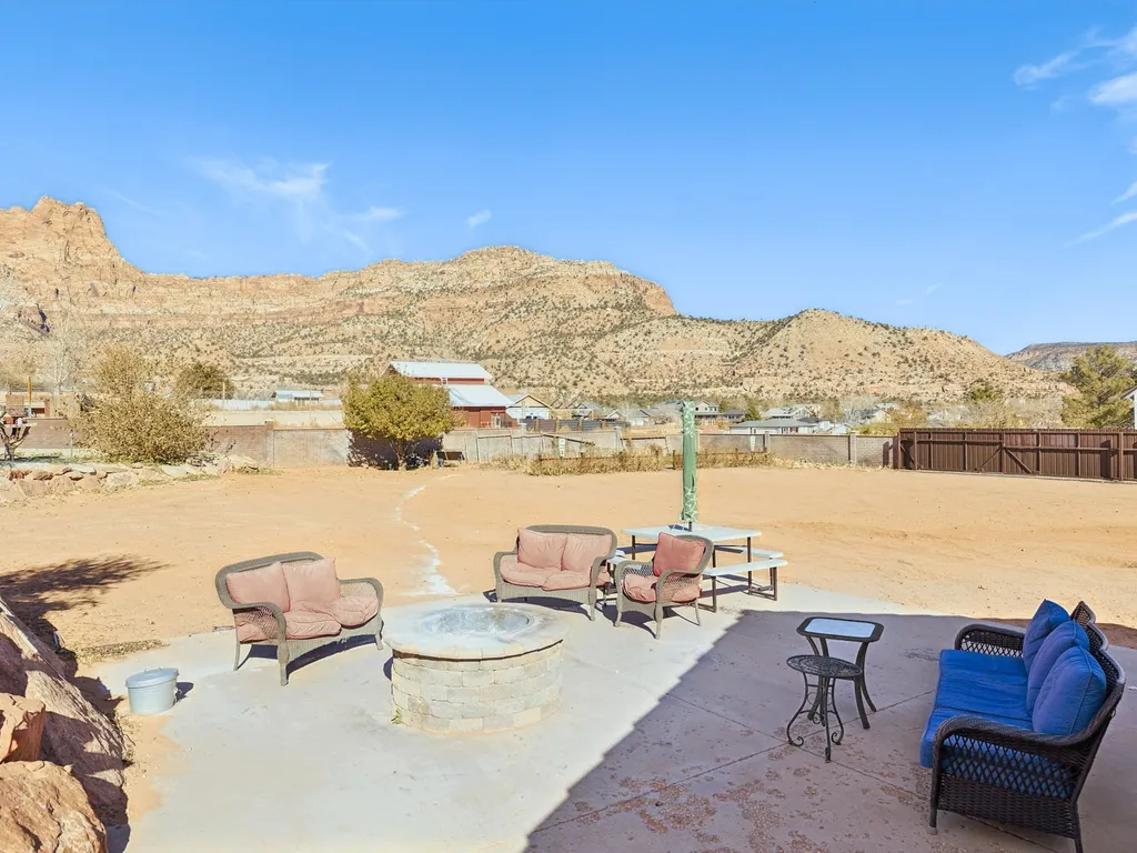
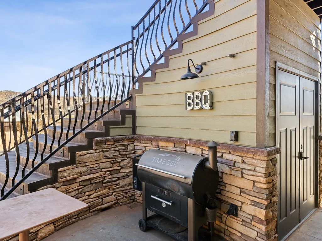
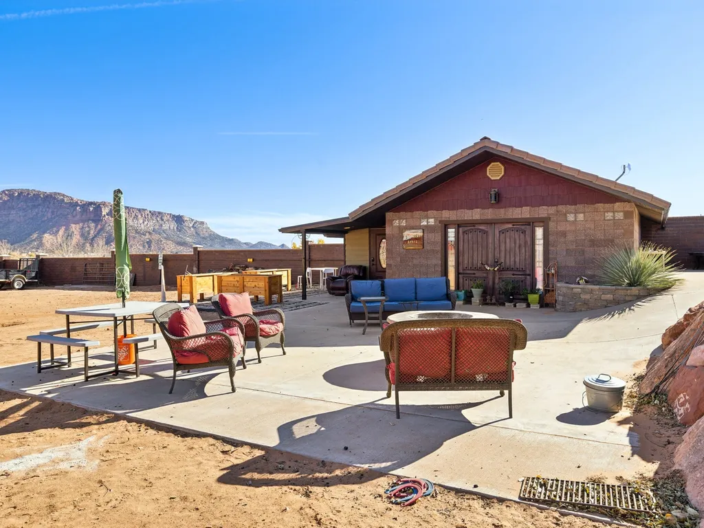
 Hotel Room54 mi1 / 53Photo 1 of 53


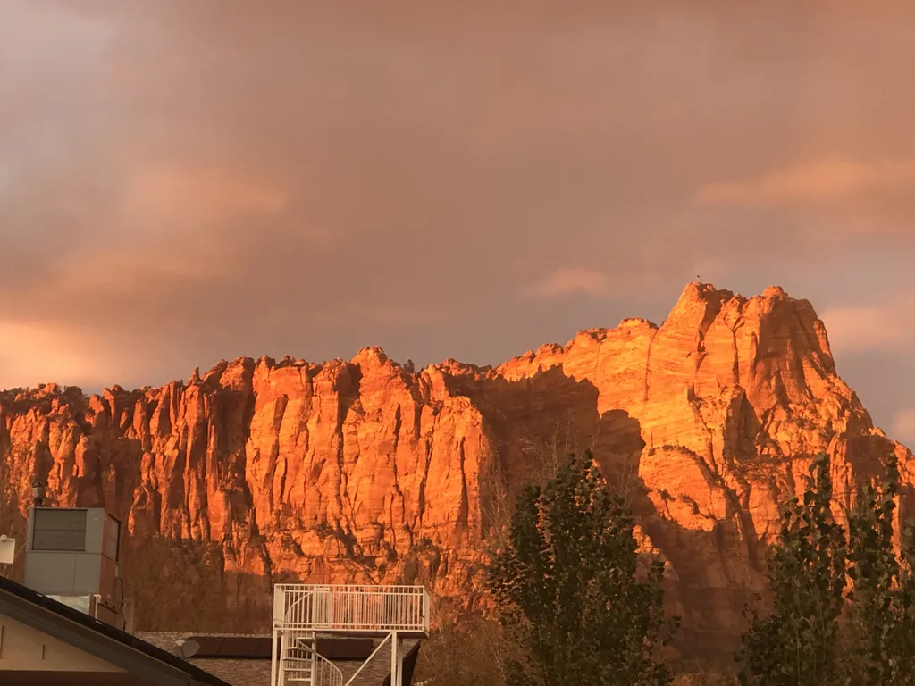


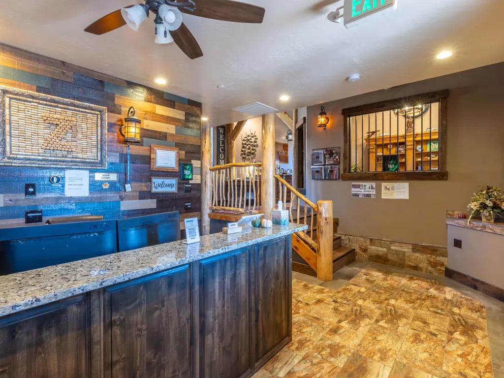
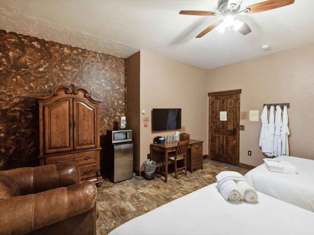
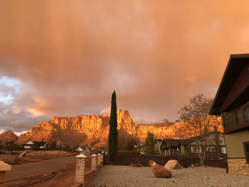
Room 15- Monument Valley
- Free Cancellation
A 190-million-year-old Navajo Sandstone formation hidden in the Coyote Buttes North permit area of Vermilion Cliffs National Monument, on the Arizona–Utah border. The Wave is a single bowl of crossbedded sandstone whose erosion-exposed layers form near-perfect undulating wave patterns photographed for half a century. Access is by BLM lottery permit only — 64 people per day total, allocated 48 through the monthly advance lottery and 16 through the daily geofence lottery the day before. The hike is a 6.4-mile round-trip across unmarked sandstone with no trail; permit holders receive a GPS coordinate map and photo guide.
The Wave is a single sandstone bowl in the Coyote Buttes North permit area of Vermilion Cliffs National Monument, established by President Clinton in 2000 and managed by the Bureau of Land Management's Arizona Strip District. The rock is Navajo Sandstone — the lithified remnants of a vast Jurassic sand-dune sea that covered the Colorado Plateau roughly 190 million years ago — and the wave-like striations are the original cross-bedding of those dunes, exposed as the overlying rock eroded away. The bowl itself is about 200 feet across with two main walls; the iconic photograph is taken from the bowl floor looking back toward the entry slot.
Access is strictly limited to protect the soft sandstone. Only 64 permit-holders are allowed in per day, divided between two BLM lotteries: 48 through the Advance Lottery (apply four months ahead — odds run ~25:1 for spring and fall, ~5:1 in peak summer heat) and 16 through the Daily Lottery (a mobile geofence app the day before from within a defined area near the Kanab Visitor Center). Group cap is 6; children, infants, and dogs all count toward the permit. The full circuit including The Wave proper, the Second Wave, the Sand Cove, and the Top Rock takes 4–6 hours.
The hike itself is a 6.4-mile round-trip across slickrock, sand wash, and exposed butte top — no marked trail, navigation by photo guide and GPS waypoints in the permit packet. Trailhead is Wire Pass off House Rock Valley Road; the road is unpaved, washboarded, and impassable in heavy rain or after monsoon storms (4WD recommended October–April). Carry 1 gallon of water per person minimum — there's no shade, no water, and no cell signal. Best months are April–May and September–October; summer brings 100°F+ heat and afternoon thunderstorms; winter occasionally brings snow on the slickrock.
A short loop through the exhibits, encounters, and shows that make this stop worth a half-day on its own.
Apply on Recreation.gov four months in advance — for example, May permits are decided on the first day of February. $9 per application, three preferred dates per submission, one application per individual per month. Awards 48 of the 64 daily permits in 12 groups. Notification via email immediately after the lottery runs at 9:00 AM MDT on the first of the month.
A mobile geofence-based lottery the day before each permit day — applicants must be physically inside the geofence area near the Kanab BLM Visitor Center between 6:00 PM (yesterday) and 6:00 AM (today) to enter. Awards the remaining 16 permits in 4 groups. Same $9 application fee. Best emergency option after losing the advance lottery.
From the Wire Pass Trailhead (5,000 feet) the route runs 3.2 miles south across sand wash, slickrock, and a low butte saddle to The Wave (5,225 feet). About 350 feet of cumulative gain. No trail markers — navigation by photo guide and GPS coordinates issued with the permit. Allow 4–6 hours round trip including time at the formation.
Most permit-holders see the main bowl in 30 minutes and miss the rest. The Second Wave (a smaller, less-photographed striated bowl) sits 5 minutes north over a saddle. Sand Cove (a giant sand bowl ringed by orange walls) is another 15 minutes north. The Top Rock (the white-and-red butte over The Wave) is a 30-minute scramble — the best aerial view of the main bowl.
The 8.3-mile dirt access road from Highway 89 to Wire Pass Trailhead is washboarded but normally passable in 2WD high-clearance. After rain or snow, the road turns to red-clay slop that traps even 4WD trucks — at least 30 vehicles get stuck each year. Check the BLM road condition report on the morning of your permit day.
A small dirt parking lot at the head of Buckskin Gulch on House Rock Valley Road — capacity ~30 vehicles. Pit toilet, no water, no cell. Fee station at the kiosk for the $6/person Wire Pass / Buckskin Gulch self-pay permits (separate from The Wave; you don't pay there if you have your Coyote Buttes North permit). Trail to The Wave splits south after 0.6 miles.
No tripods, no commercial photography without a separate BLM Special Recreation Permit (~$155). The signature shot is from the bowl floor looking northeast through the entry slot — best in mid-morning when low sun hits the back wall. Avoid stepping on the wet sandstone immediately after rain; surface erodes 100x faster when saturated.
The adjacent Coyote Buttes South permit area releases up to 20 permits per day through a separate, less competitive lottery (~3:1 odds in peak season). Access is via a separate trailhead (Cottonwood Cove or Paw Hole), terrain is more varied, and the formations include teepees, pockets, and stratified bowls — different from The Wave but equally photogenic.
Day-use only, 365 days a year — no overnight camping in the Coyote Buttes North permit area. Access road (House Rock Valley Road) is unpaved and may be impassable when wet, even with 4WD; check the BLM Kanab Visitor Center conditions report before driving in. The trailhead (Wire Pass) is on the Arizona–Utah border off Highway 89.
Note · Permits are valid sunrise to sunset on the awarded date only — no rainchecks, no transfers between days. Permit-holder must be physically present and produce matching government photo ID at any ranger contact.
Per-person admission. Buy in advance to skip the gate line.
Two separate lotteries on Recreation.gov: the Advance Lottery (apply 4 months ahead, awards 48 of the 64 daily permits in 12 groups) and the Daily Lottery (mobile geofence app, the day before, awards the remaining 16 permits in 4 groups). Maximum group size is 6 people; everyone must be named on the permit. Children under 12 are not recommended due to terrain. Permits are non-refundable and non-transferable. The hike is a 6.4-mile round-trip across slickrock with no trail markers — a printed BLM route map and GPS coordinates are issued with the permit.
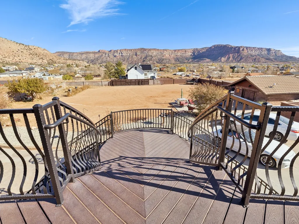
Apply for a permitHotel Room54 mi1 / 53Photo 1 of 53 Hotel Room54 mi1 / 52Photo 1 of 52
 Hotel Room54 mi1 / 52Photo 1 of 52
 Hotel Room54 mi1 / 50Photo 1 of 50
 suite54 mi1 / 51Photo 1 of 51
 Hotel Room54 mi1 / 52Photo 1 of 52
 Hotel Room54 mi1 / 52Photo 1 of 52
 Hotel Room54 mi1 / 52Photo 1 of 52
 Hotel Room54 mi1 / 54Photo 1 of 54
 apts54 mi1 / 52Photo 1 of 52
 suite54 mi1 / 51Photo 1 of 51
 home72 mi1 / 75Photo 1 of 75