home15 mi1 / 73Photo 1 of 73


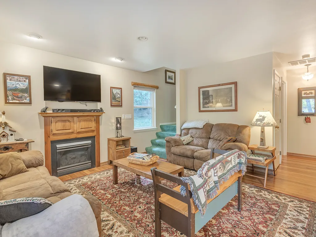
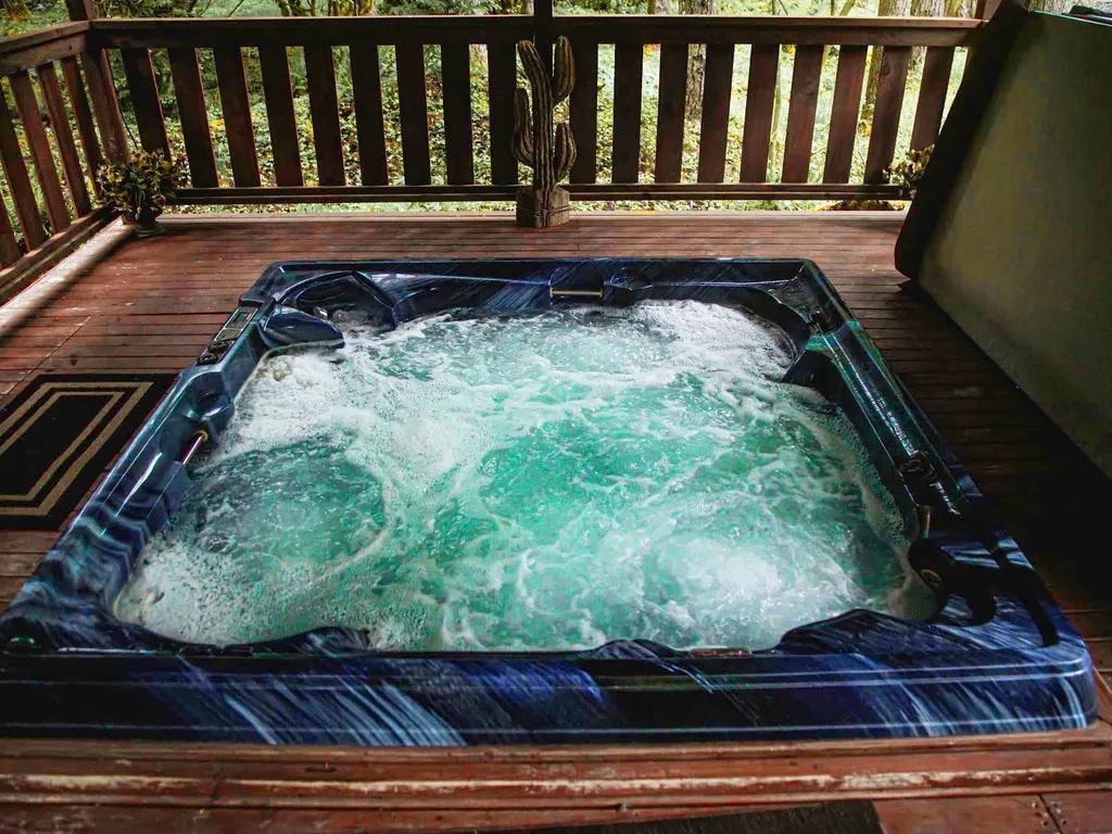
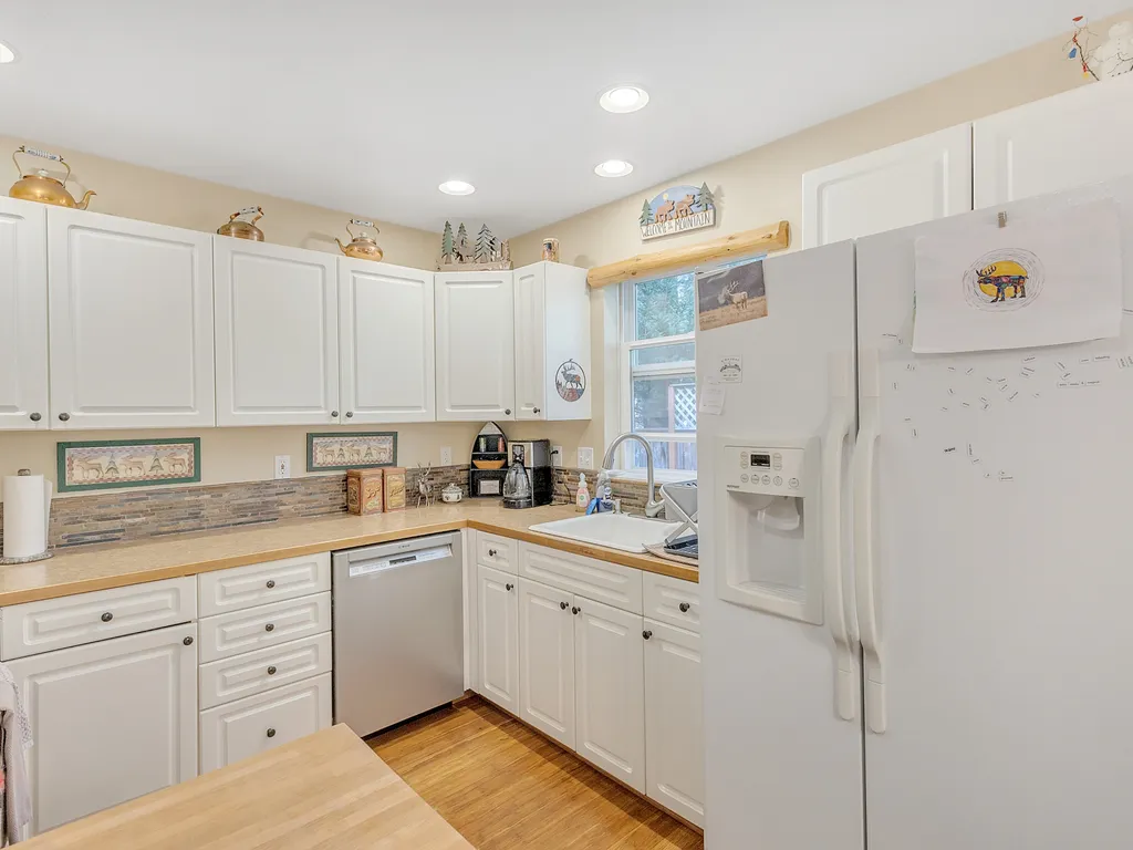
PackShack- Cozy Ski Cabin Mins from White Pass
- Free Cancellation
Mount Rainier National Park surrounds the highest peak in the Cascade Range — a 14,410-foot glacier-clad stratovolcano on the Pierce/Lewis County line in Washington, designated the country's fourth national park in March 1899. The park covers 236,381 acres of subalpine wildflower meadows (Paradise, Sunrise), old-growth forest (Carbon River, Ohanapecosh), and the largest single-mountain glacier system in the contiguous U.S. — 25 named glaciers totaling about 35 square miles, including Carbon Glacier (largest by volume in the lower 48) and Emmons Glacier (largest by area). The 93-mile Wonderland Trail circles the volcano in 10–14 days; Paradise's Skyline Trail loop crosses Edith Creek and the Myrtle Falls overlook in 5.5 miles.
Mount Rainier National Park was established March 2, 1899 as the country's fourth national park — the result of a multi-year campaign by the Mazamas mountaineering club, the Sierra Club, and Northern Pacific Railroad executive Bailey Willis to protect the 14,410-foot active stratovolcano dominating the Puget Sound skyline. The park's 236,381 acres span the Cascade crest from 1,600 feet at the Carbon River entrance to 14,410 feet at Columbia Crest. Ninety-seven percent is designated wilderness under the 1988 Mount Rainier Wilderness Act, and the entire park was named a National Historic Landmark in 1997 for its 1920s–30s NPS rustic-style architecture (Paradise Inn, Longmire's National Park Inn, the Sunrise day lodge).
The mountain is one of 16 Decade Volcanoes — the most dangerous in the U.S. by population at risk because of its lahar potential into the Puyallup and Nisqually river valleys. Its 25 named glaciers cover roughly 35 square miles; Carbon Glacier descends to 3,500 feet (the lowest glacier terminus in the contiguous U.S.) and Emmons Glacier covers 4.3 square miles on the northeast face. Paradise, on the south flank at 5,400 feet, is the most-visited spot in the park — wildflowers (lupine, paintbrush, avalanche lily) peak from mid-July through mid-August, and the Skyline Trail's 5.5-mile loop crosses Edith Creek, climbs to Panorama Point at 6,800 feet, and returns past Myrtle Falls. Sunrise on the northeast side, at 6,400 feet, is the highest point reachable by car in the park and the launch for Burroughs Mountain Trail's three summits.
Plan three to five days to do the park properly. The Paradise corridor (Nisqually Entrance → Longmire → Paradise) is the standard one-day visit; allow a separate full day for Sunrise (Highway 410 from Enumclaw, only open July–September), and another for the Carbon River / Mowich Lake roads on the wetter northwest side. Stay in Ashford (Nisqually gateway), Packwood (south side, gateway to Stevens Canyon), or Greenwater (north side, near Sunrise). Timed-entry reservations are required for Paradise and Sunrise corridors May through Labor Day weekend on Fridays through Sundays — reserve at recreation.gov 30 days out or arrive before 7 AM. Bring a rain shell year-round; Paradise averages 53 feet of snow annually and the upper meadows can be socked in even in August.
A short loop through the exhibits, encounters, and shows that make this stop worth a half-day on its own.
Paradise Inn (1917, NPS rustic) sits at 5,400 feet on the south flank — the launch for the 5.5-mile Skyline Trail loop that climbs through subalpine meadows to Panorama Point (6,800 feet) with views south to Mount Adams and the Tatoosh Range. Wildflowers (lupine, paintbrush, avalanche lily) peak mid-July through mid-August; the loop passes Myrtle Falls a quarter-mile from the parking lot for the postcard-perfect view of Rainier above the falls.
Sunrise sits at 6,400 feet on the northeast face — the highest point reachable by car in the park, open only July through early September. The Burroughs Mountain Trail (9 miles round-trip across all three summits) crosses tundra-like alpine terrain with eye-level views of Emmons Glacier (the largest glacier by area in the lower 48). Frozen Lake at the trail junction is a popular shorter turnaround at 1.5 miles in.
The 93-mile Wonderland Trail circles Mount Rainier with 22,000 feet of cumulative elevation gain — typically hiked in 10–14 days from Longmire or White River. Eighteen designated camps along the route; permits are reserved through the recreation.gov spring lottery (early March opening) and walk-up permits exist but are scarce in summer. Most hikers go counterclockwise to face the harder northwest section in better weather.
Carbon Glacier on the northwest face descends to 3,500 feet — the lowest-elevation glacier terminus in the contiguous United States, and the largest by volume in the lower 48. Reach the snout via the 7-mile (one-way) Carbon River Trail from the Carbon River entrance; the trail has been gravel/walking-only since the 2006 flood washed out the road. Mosquito-heavy in July; bring DEET.
Reflection Lakes on Stevens Canyon Road (1.3 miles east of the Paradise wye) is the most-photographed roadside view in the park — the volcano mirrored in still water on calm mornings, with the 3-mile Lakes Trail loop above for a longer walk. Tipsoo Lake at Chinook Pass on Highway 410 is the eastern bookend with the 3.2-mile Naches Peak Loop crossing the Pacific Crest Trail; both lakes are open only late June through early October.
The Ohanapecosh Campground area in the southeast corner protects a stand of 1,000-year-old Western red cedar and Douglas fir on an island in the Ohanapecosh River — the Grove of the Patriarchs Trail (1.5 miles round-trip). The suspension footbridge to the grove was damaged by a flood in November 2021 and the trail was closed to the island; check the NPS site for current access. Silver Falls Loop nearby (3 miles) is open year-round.
Camp Muir at 10,188 feet is the standard high camp for the Disappointment Cleaver summit route — a 4.5-mile, 4,640-foot climb from Paradise on the Muir Snowfield, doable as a brutal one-day hike or as the first day of a two-day summit attempt. The 1916 stone shelter sleeps 25 climbers on a first-come basis. The full summit climb requires a $52 Climbing Cost Recovery Fee, glacier-travel gear, and either guide-service support (RMI, Alpine Ascents, IMG) or proven independent experience.
Hoary marmots whistle from the rocks above Paradise and Sunrise all summer (peak activity at sunrise and just before dusk). Mountain goats are reliable at Goat Rocks Wilderness on the southern boundary and the Sunrise alpine zone. Black bears (~150 estimated population) roam the lower forest corridors — bear canisters required for backcountry stays. Roosevelt elk congregate in the Carbon River and Ohanapecosh valleys at dawn.
Park gates are open 24/7 year-round. The Nisqually (SW) entrance is the only gate open daily in winter — the Stevens Canyon, Sunrise, and Mowich Lake roads are seasonal (Stevens Canyon and Sunrise typically late June through early October; Mowich Lake gravel road July–October). The road from Longmire to Paradise is plowed daily in winter to support ski touring at Paradise. Timed-entry reservations are required for the Paradise corridor and Sunrise corridor on summer weekends — reserve at recreation.gov.
Note · Paradise Jackson Visitor Center: 10 AM–5 PM weekends in winter, daily in summer. Sunrise Visitor Center: 10 AM–6 PM, July through early September only. Last vehicle accepted into the timed-entry corridors is typically 3:00 PM; cars without reservations may enter before 7 AM or after 3 PM. Cell coverage is unreliable past Longmire — download offline maps before arrival.
Per-person admission. Buy in advance to skip the gate line.
Children 15 and under enter free. Wilderness camping permits ($26 reservation fee) are required for the Wonderland Trail and reserved at recreation.gov in March for the upcoming summer — the lottery is competitive. Climbing the summit requires a separate $52 Climbing Cost Recovery Fee per person plus the entrance pass; commercial guide services (RMI, Alpine Ascents, IMG) run guided 4-day attempts from Camp Muir.
Reserve timed entryhome15 mi1 / 73Photo 1 of 73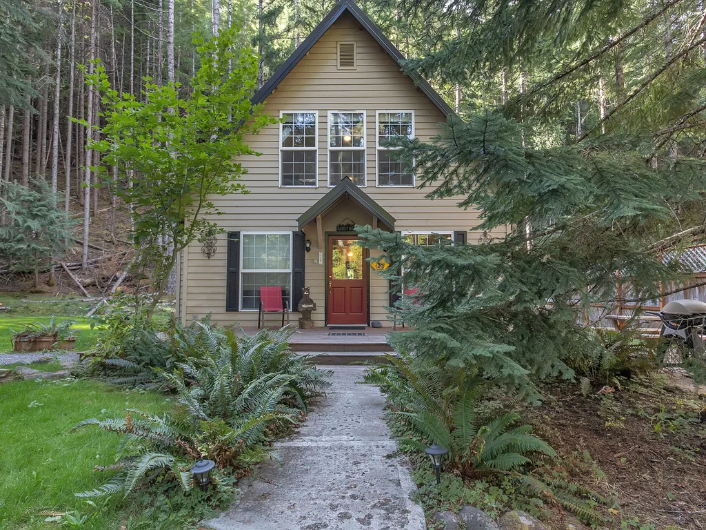 home19 mi1 / 31Photo 1 of 31
 condo42 mi1 / 47Photo 1 of 47
 home43 mi1 / 43Photo 1 of 43
 home44 mi1 / 33Photo 1 of 33