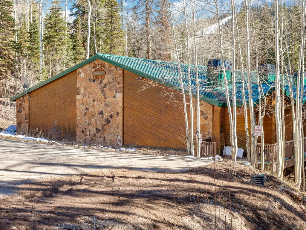
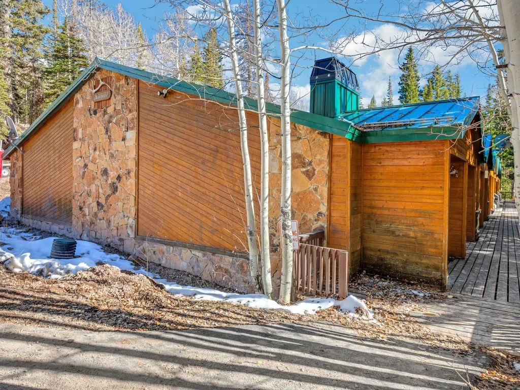
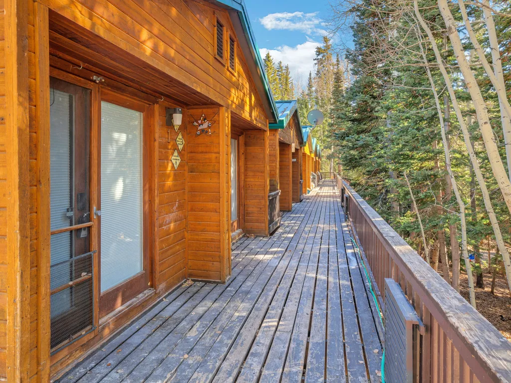
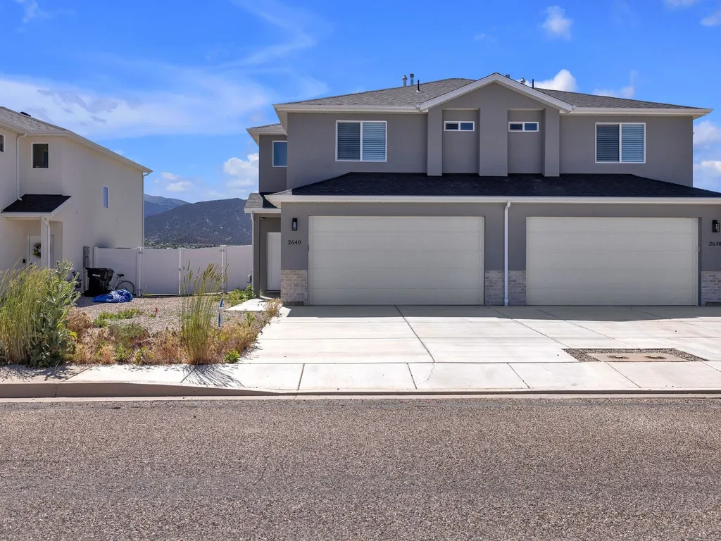
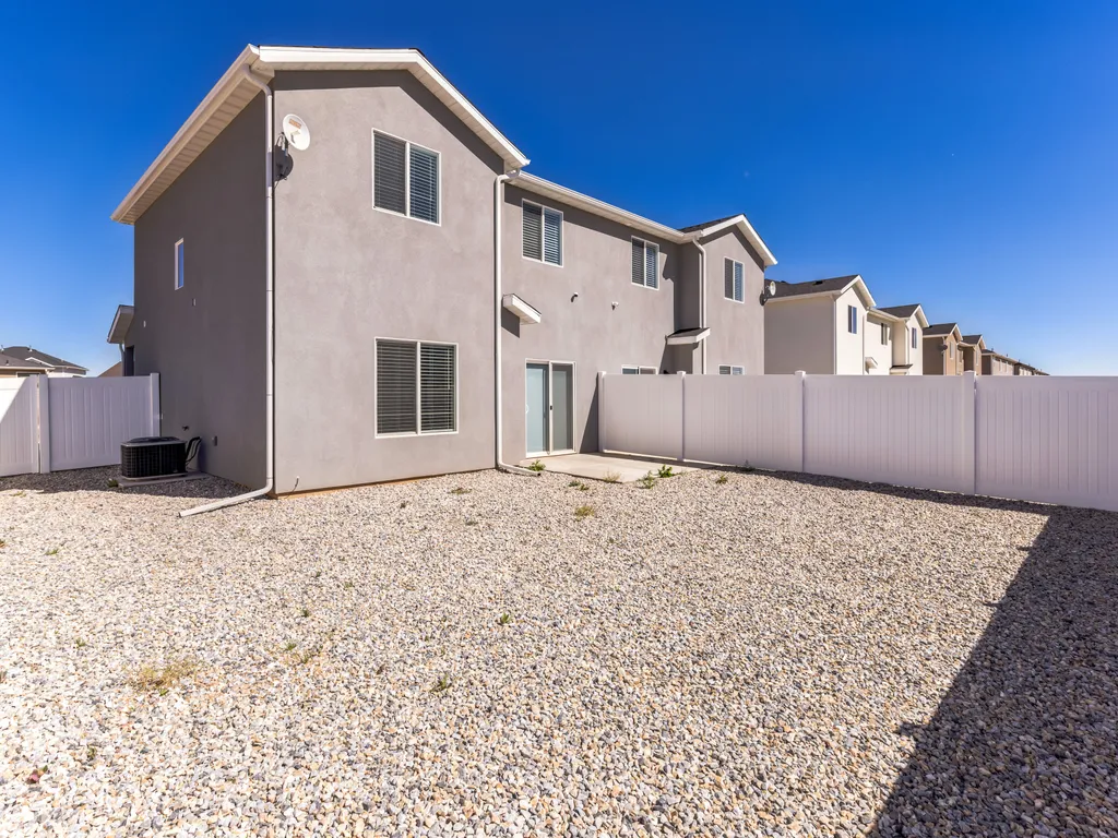
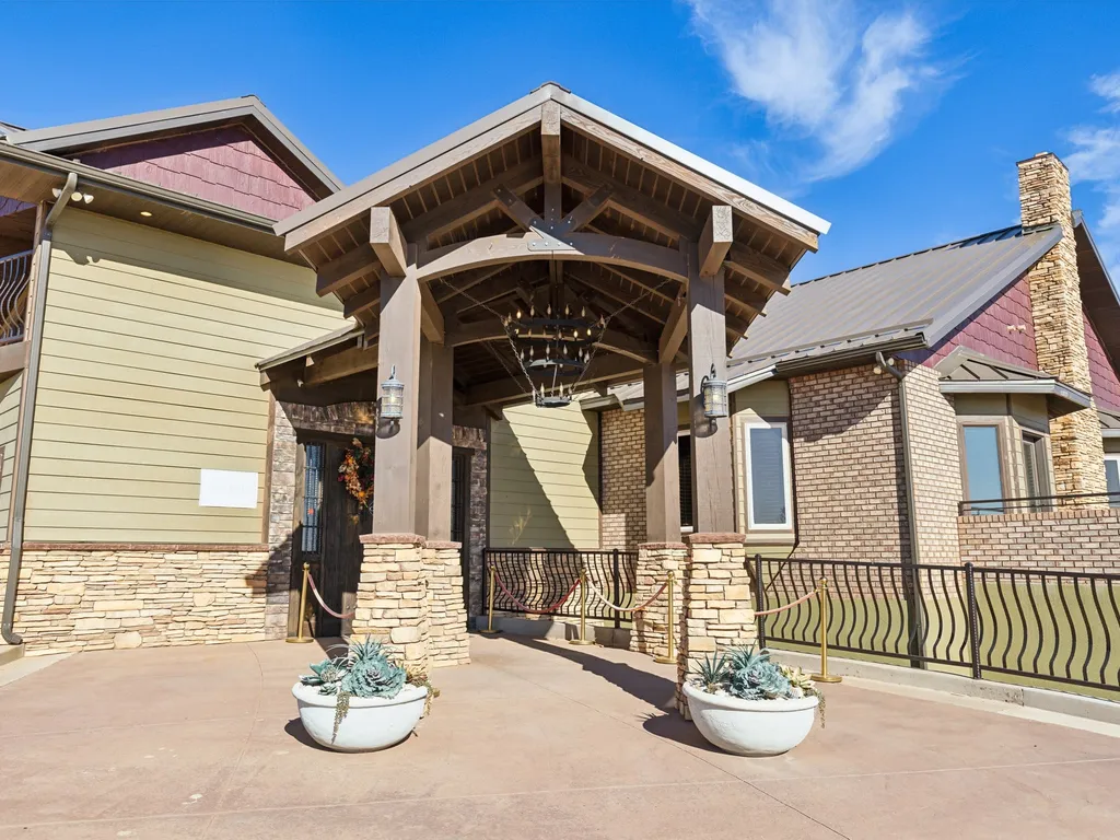
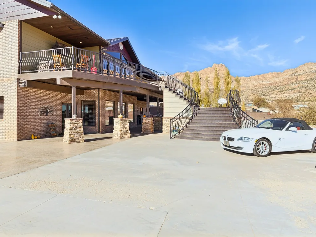
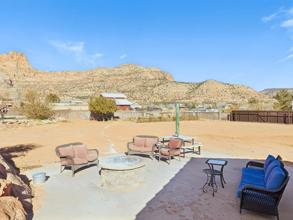
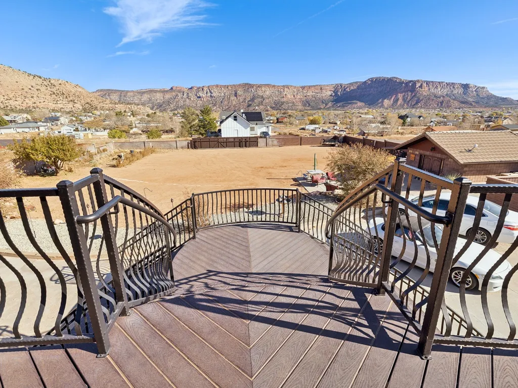
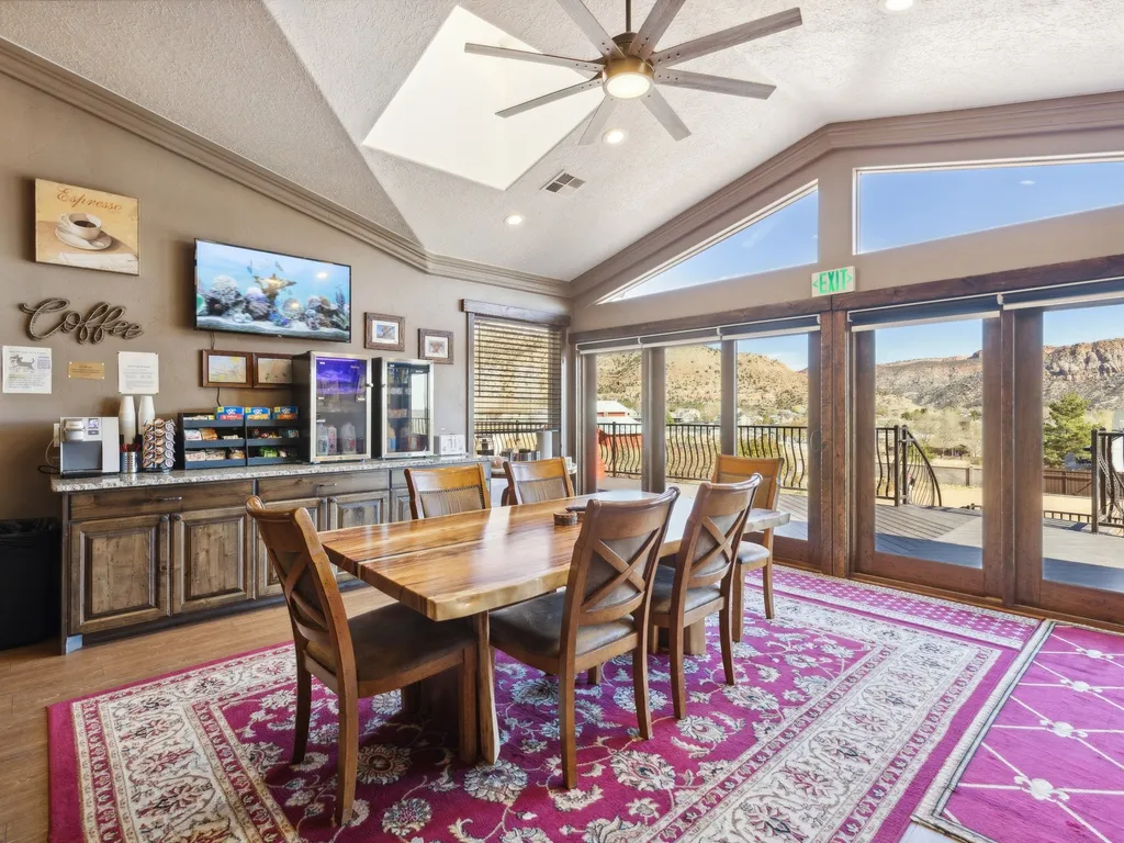
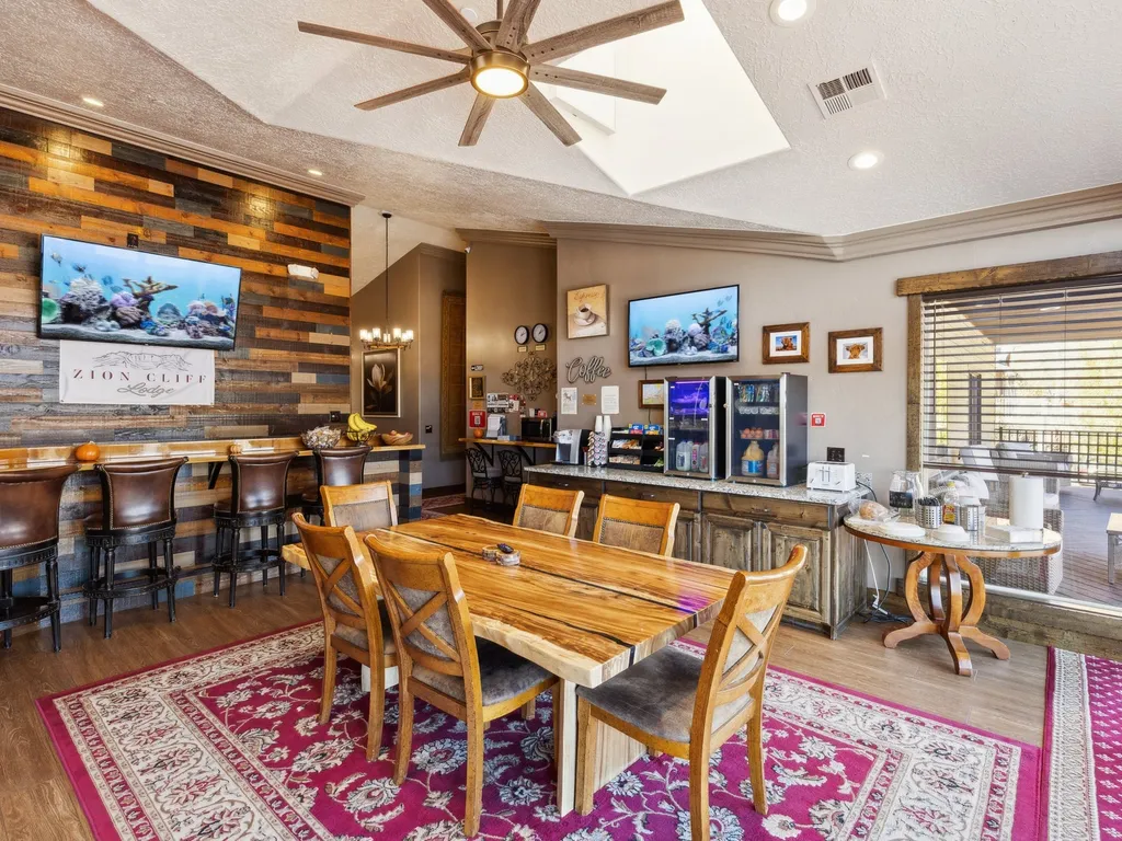
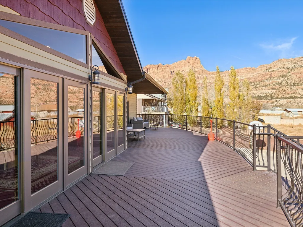
 condo57 mi1 / 13Photo 1 of 13
Escalante · RedAwning
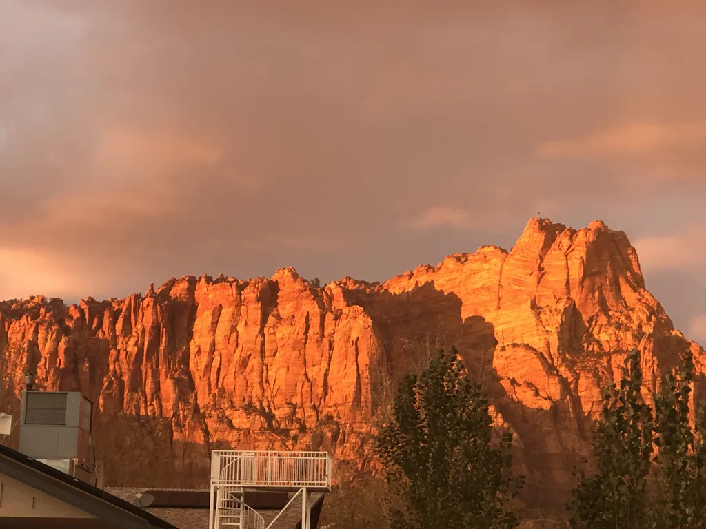
Grand Staircase-Escalante National Monument1.87 million BLM acres in southern Utah — Lower Calf Creek Falls, Devils Garden hoodoos, and the slot canyons of Hole-in-the-Rock Road
1.87 million acres of stepped sandstone plateaus, slot canyons, and undisturbed BLM backcountry across south-central Utah — President Clinton's 1996 Antiquities Act designation crossing three regions: the Grand Staircase ascending the chromatic Pink, Gray, White, Vermilion, and Chocolate Cliffs; the Kaiparowits Plateau in the middle; and the Canyons of the Escalante to the east. Free entry, no timed reservations, and the largest land area of any U.S. national monument — managed by the Bureau of Land Management out of four visitor centers in Kanab, Big Water, Cannonville, and Escalante.
- 1.87MAcres
- 1996Established
- 4Visitor centers
- FreeEntry fee
Welcome to Grand Staircase-Escalante National Monument1.87 million acres, free admission, no fences.
President Bill Clinton designated Grand Staircase-Escalante National Monument on September 18, 1996, using the Antiquities Act to set aside 1.87 million acres of southern Utah's most remote BLM backcountry — the first national monument managed by the Bureau of Land Management rather than the Park Service. The monument stretches from the Pink Cliffs above Bryce Canyon south to the Vermilion Cliffs near the Arizona line, encompassing three distinct regions: the Grand Staircase rising in chromatic terraces (Pink, Gray, White, Vermilion, and Chocolate Cliffs); the Kaiparowits Plateau, a roadless 1,650-square-mile coal-rich tableland; and the Canyons of the Escalante, where the Escalante River and its tributaries cut slot canyons through Navajo Sandstone.
The headline destinations cluster along Highway 12 between Boulder and Escalante. Lower Calf Creek Falls is a 6.0-mile round-trip from a roadside campground to a 126-foot waterfall plunging into a hanging-garden alcove (pictographs visible at mile 1.5). Hole-in-the-Rock Road heads 62 miles southeast from Highway 12 — Devils Garden's hoodoo cluster at mile 12, the Spooky and Peek-a-Boo slot canyon loop at mile 26, Dance Hall Rock at mile 36, and the original 1880 Mormon pioneer descent above Lake Powell at the dead end. To the southwest, the Toadstool Hoodoos (1.5-mile round-trip off US-89), Grosvenor Arch (a 152-foot double arch off Cottonwood Canyon Road), and the multi-day Coyote Gulch backpack down to the Escalante River anchor the Kanab side.
Plan three days minimum to scratch the surface. Highway 12 from Capitol Reef to Bryce Canyon is the primary access — designated an All-American Road, it crosses the Hogback (a single-lane ridge with 1,000-foot drops on both sides between Boulder and Escalante) and provides the last paved mileage before the dirt-road network begins. There are no entrance fees and no timed entries, but also no services between gas stops — fuel up in Escalante, Boulder, or Cannonville before heading down a dirt road. Spring and fall are the only sane seasons; summer slot-canyon hikes carry serious flash-flood risk, and winter ice closes Hole-in-the-Rock Road and Cottonwood Canyon Road for weeks at a time.
What to see
What you'll seehighlights of Grand Staircase-Escalante National Monument.
A short loop through the exhibits, encounters, and shows that make this stop worth a half-day on its own.
Lower Calf Creek Falls
A 6.0-mile round-trip from the Calf Creek Recreation Area campground to a 126-foot waterfall plunging into a hanging-garden alcove. Sandy trail with ~700 ft of cumulative gain; allow 4–5 hours. Three sets of pictographs and a granary visible from viewpoints between mile 1.5 and the falls.
Devils Garden Hoodoos
A 0.5-mile loop off Hole-in-the-Rock Road through a cluster of Entrada hoodoos including Metate Arch and Mano Arch — small, family-friendly, and 12 miles south of Highway 12 on a well-graded dirt road passable in any car when dry. Picnic tables, vault toilets, no fee.
Spooky & Peek-a-Boo slot canyons
A 3.5-mile loop hike off Hole-in-the-Rock Road combining two of Utah's tightest slots — Peek-a-Boo's 12-foot chimney climb at the entrance, then Spooky's 10-inch-wide squeeze section where backpacks come off. No water, scramble required; only safe in dry weather (zero flash-flood tolerance).
Toadstool Hoodoos
A 1.5-mile round-trip on US-89 between Page and Kanab — short flat hike to clusters of red Entrada caprocks balanced on white Carmel Formation pedestals, with the Vermilion Cliffs as the backdrop. Free, signed roadside trailhead 12 miles east of Kanab; allow 1–1.5 hours.
Highway 12 Scenic Byway
An All-American Road from Capitol Reef to Bryce Canyon — passes the Calf Creek campground, the Hogback (a single-lane ridge with 1,000-foot drops on both sides between Boulder and Escalante), the Kiva Koffeehouse stop at mile 73, and the Anasazi State Park Museum in Boulder.
Coyote Gulch backpack
A 3-day, 25-mile loop down Hurricane Wash and out via the Crack-in-the-Wall — sandstone arches (Jacob Hamblin Arch, Coyote Natural Bridge), a year-round stream you can wade, and access to Stevens Arch above the Escalante River. Free self-issue overnight permit at the Hurricane Wash trailhead.
Grosvenor Arch
50 miles south of Cannonville on Cottonwood Canyon Road — a 152-foot double arch high on a yellow-Henrieville-Sandstone cliff, named for National Geographic founder Gilbert Grosvenor. Free, signed, paved walkway from a small picnic area; high-clearance vehicle recommended for the dirt road.
Hole-in-the-Rock Road
A 62-mile dirt road south from Highway 12 outside Escalante — passes Devils Garden at mile 12, Spooky/Peek-a-Boo trailhead at mile 26, Dance Hall Rock at mile 36, and dead-ends at the 1,200-foot 1880 Mormon pioneer descent above Lake Powell. The first 36 miles are passable in dry weather in any car; high-clearance required beyond.
Hours & tickets
Open hours
Monument lands are open 24/7 year-round. Visitor centers (Escalante, Cannonville, Big Water, Kanab) operate roughly 8:00 AM–4:30 PM mid-March through mid-November; reduced winter hours and intermittent winter closures. Hole-in-the-Rock Road and Cottonwood Canyon Road are dirt and impassable when wet.
- MondayTodayOpen 24 hrs
- TuesdayOpen 24 hrs
- WednesdayOpen 24 hrs
- ThursdayOpen 24 hrs
- FridayOpen 24 hrs
- SaturdayOpen 24 hrs
- SundayOpen 24 hrs
Note · No gates, no closures — but slot canyons can flash-flood with no warning. Always check the weather report at the visitor center before entering Spooky, Peek-a-Boo, or any narrow canyon, and never enter if there's any chance of rain in the upstream watershed.
Ticket pricing
Per-person admission. Buy in advance to skip the gate line.
- Day useFreeFree admission, no reservation required
- Backcountry overnight permitFreeSelf-issue free at any trailhead register
- Calf Creek Recreation Area camping$15Per night, 13 sites, first-come first-served
- Coyote Gulch / Escalante River permitFreeRequired, free, self-issue at trailhead
Day use is free with no permit or reservation. Backcountry overnight requires a free self-issue permit at the trailhead. Calf Creek Falls Recreation Area is the only developed campground in the monument ($15/night, 13 sites). The Hole-in-the-Rock Road, Cottonwood Canyon Road, and Skutumpah Road are dirt and require high-clearance — call any visitor center for current conditions before driving.
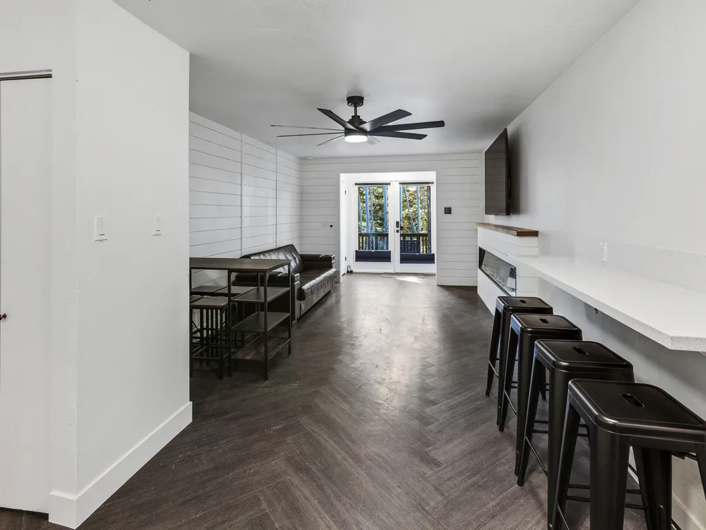
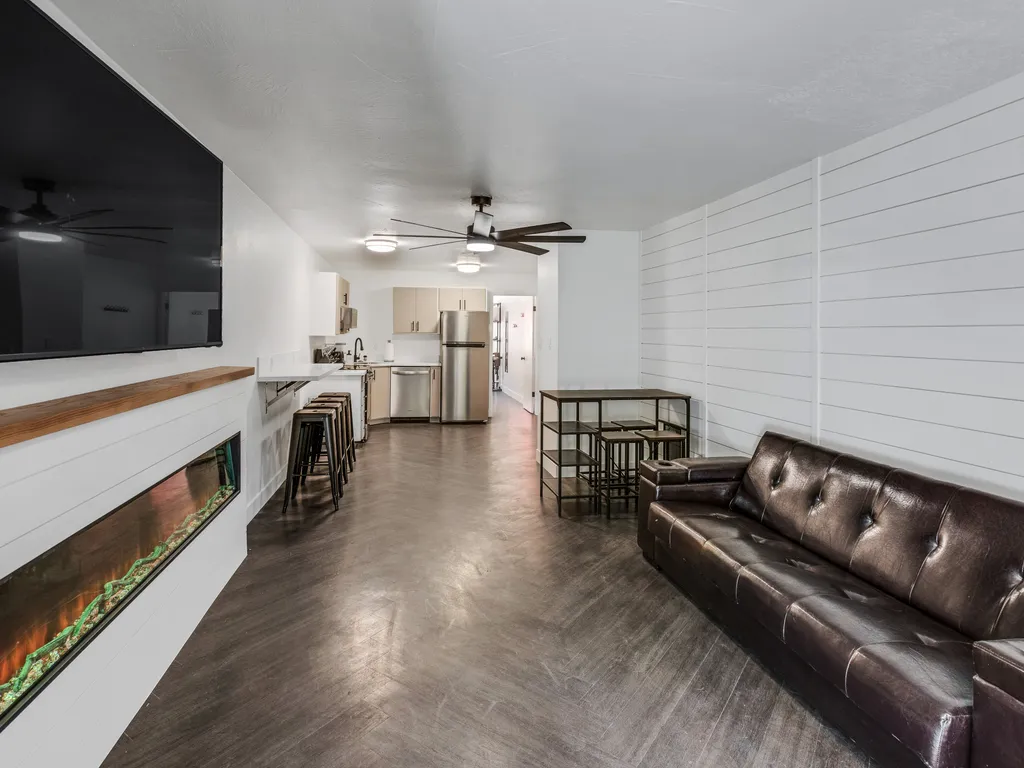
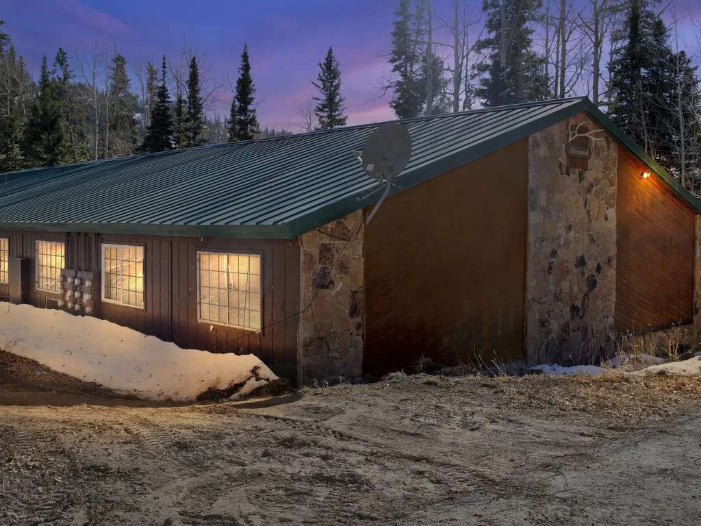
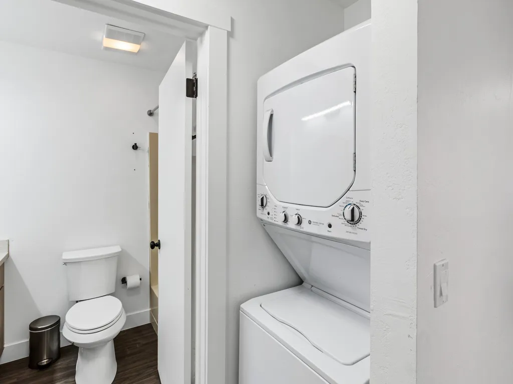
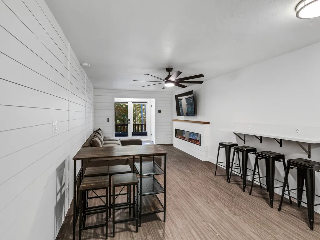
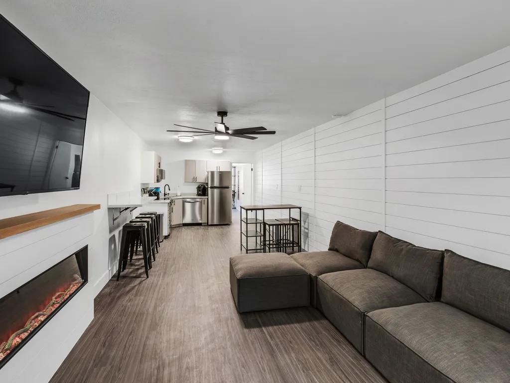
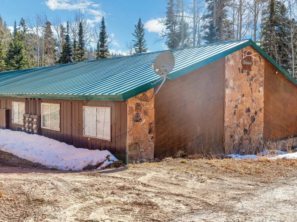
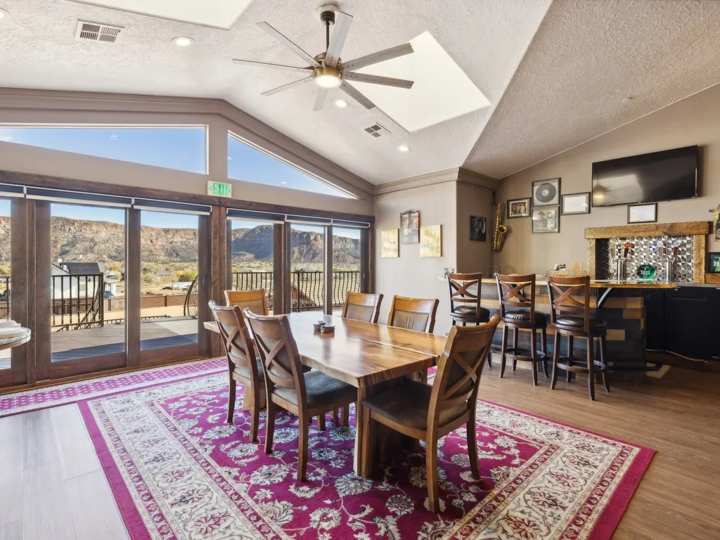
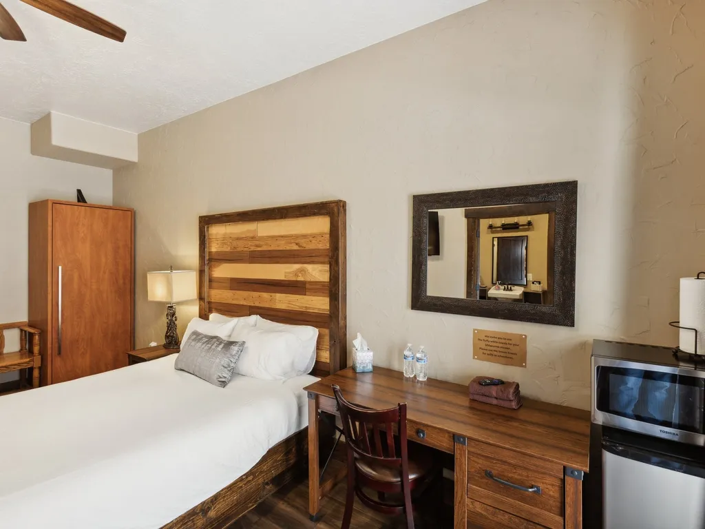
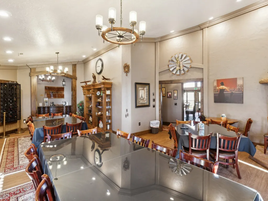
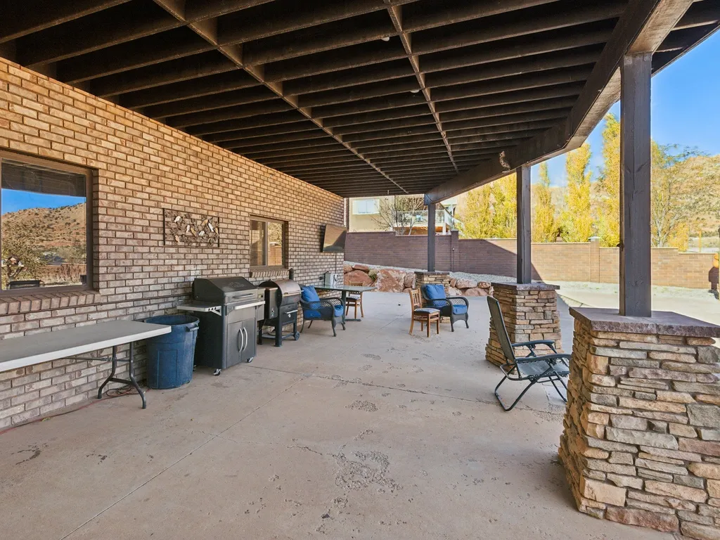
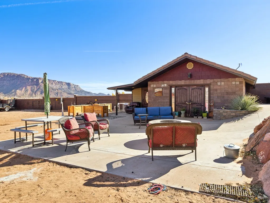
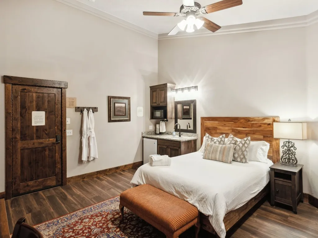
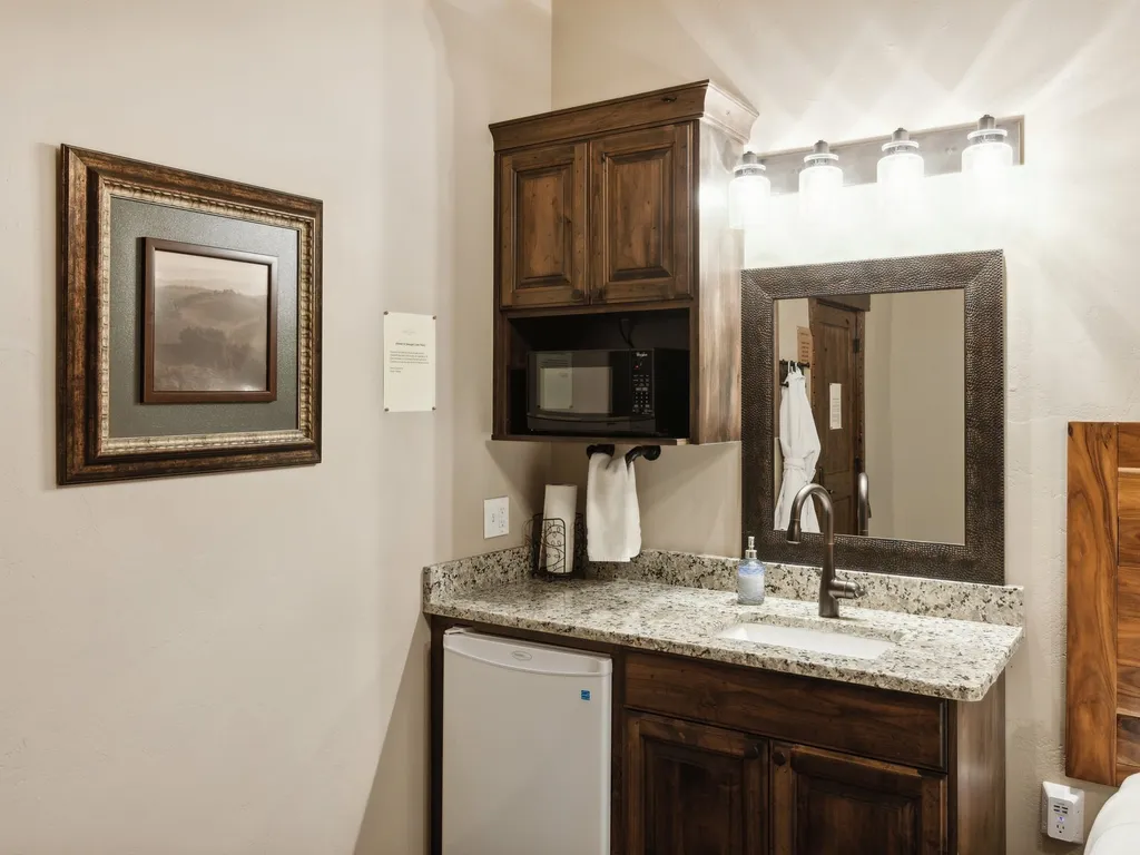
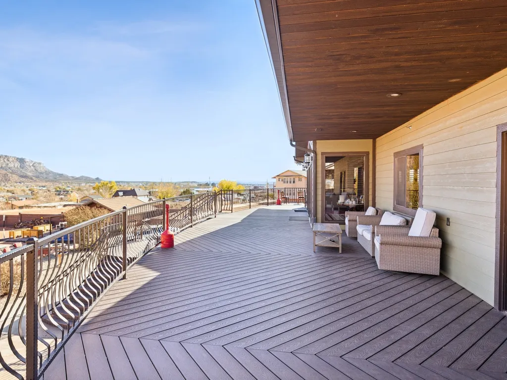
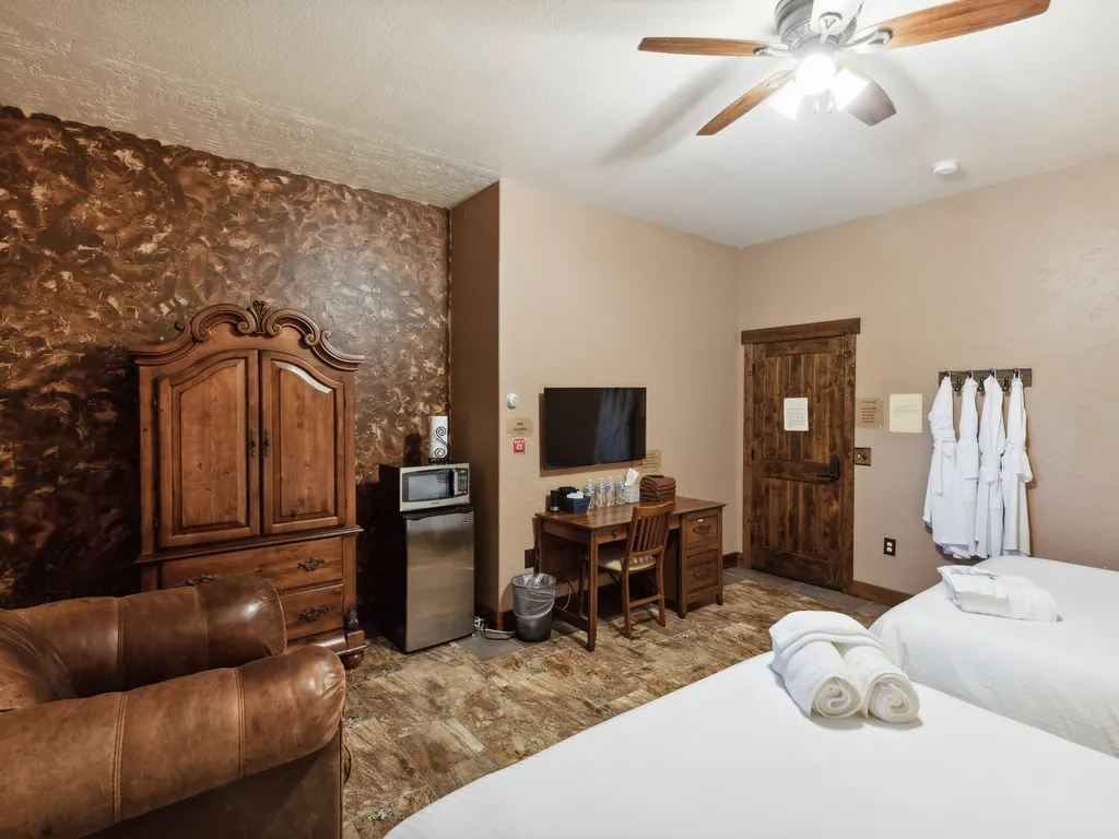
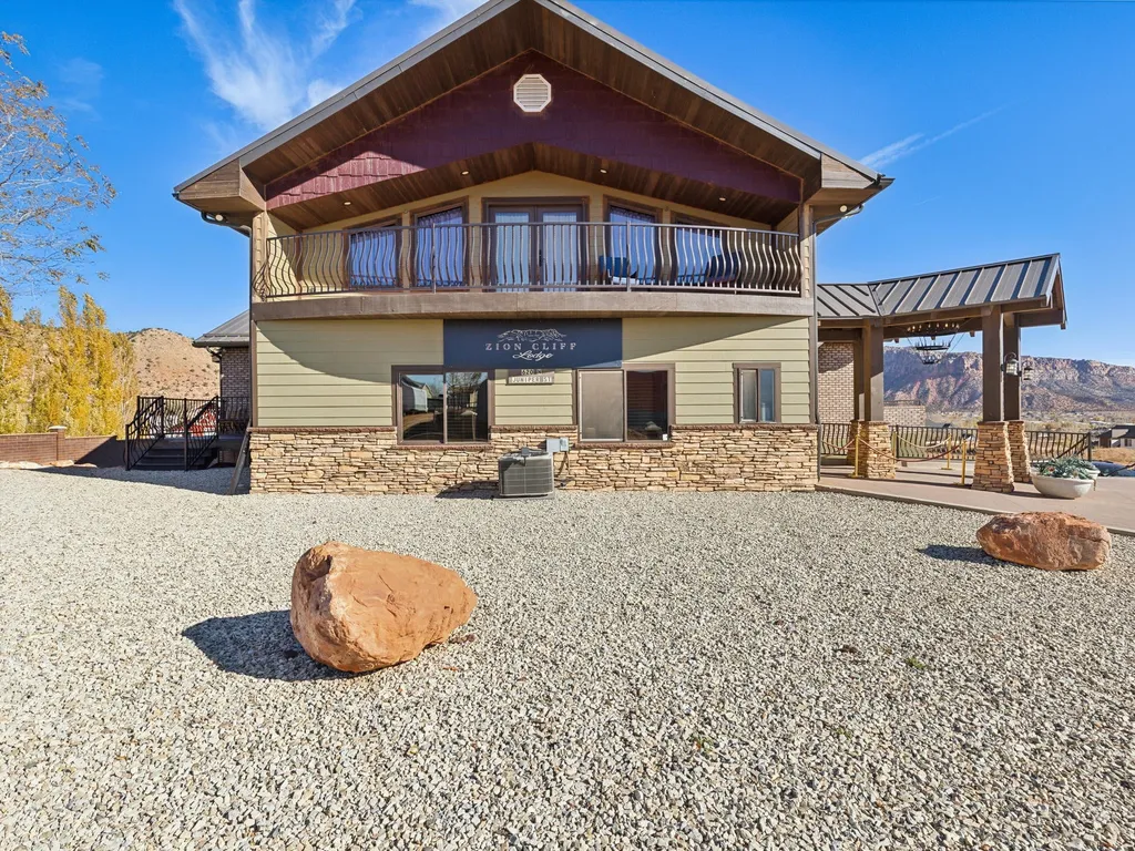
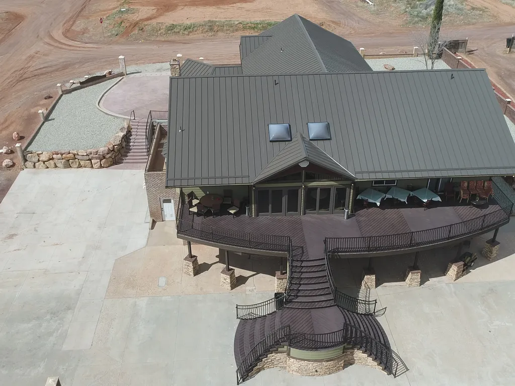
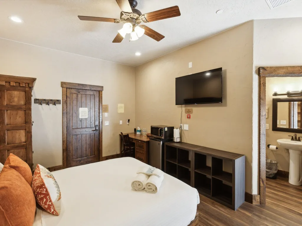
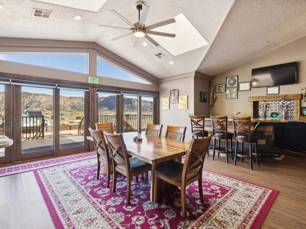
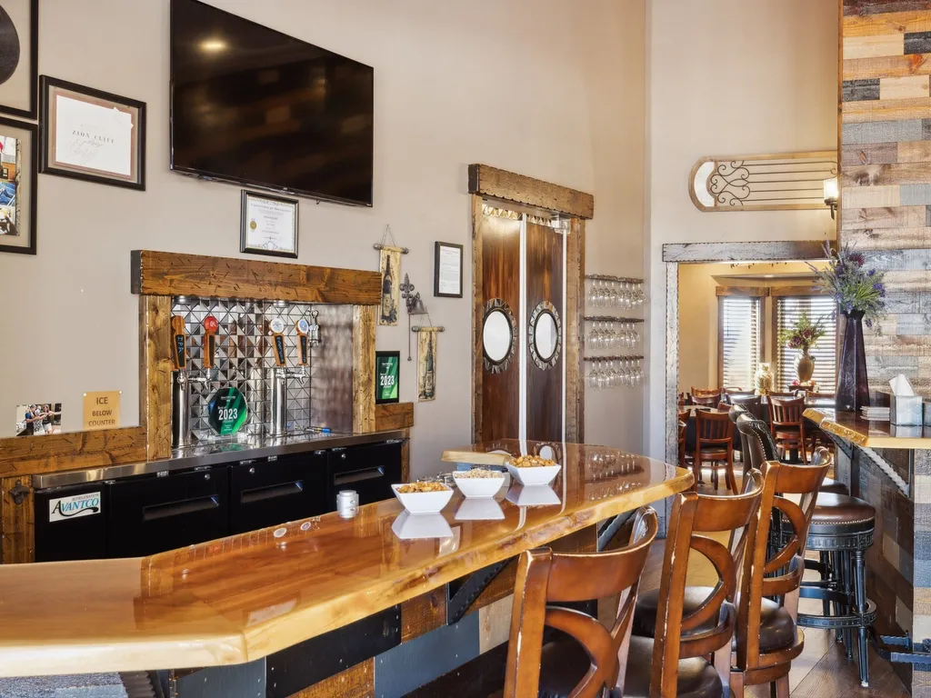
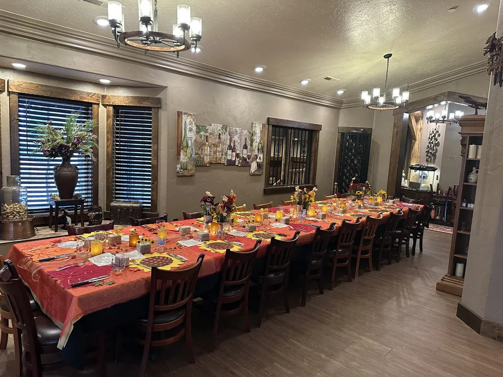
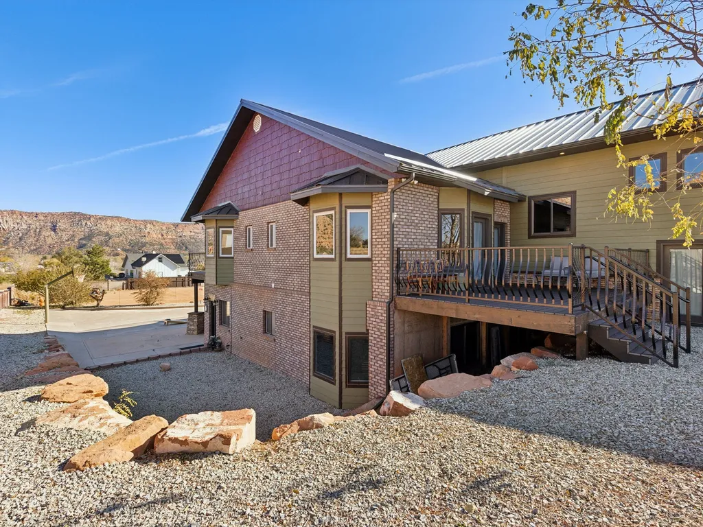
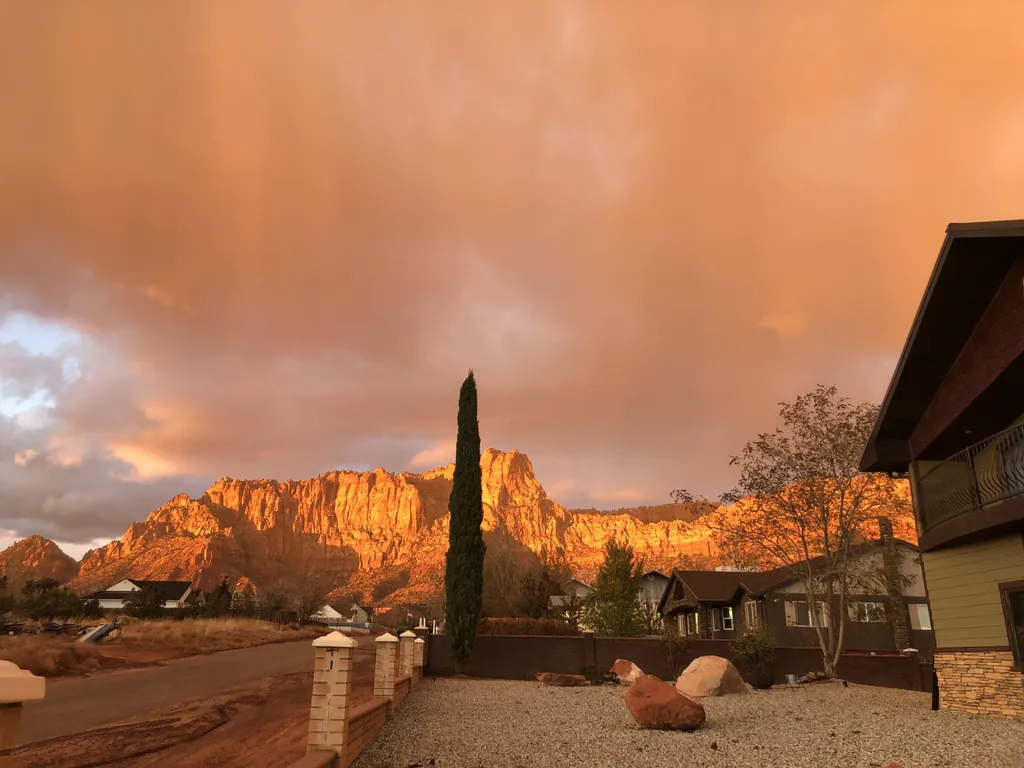
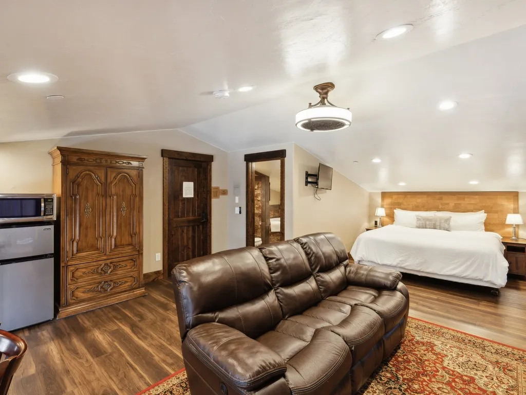
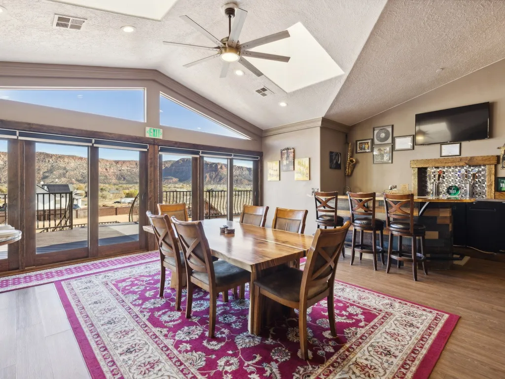
Plan your visitStay near Grand Staircase-Escalante National Monumenthand-picked vacation rentals nearby.
condo57 mi1 / 13Photo 1 of 13


 condo57 mi1 / 17Photo 1 of 17
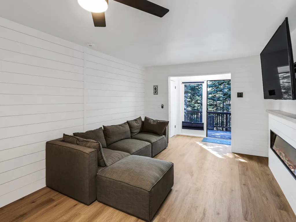


 condo57 mi1 / 16Photo 1 of 16


 home80 mi1 / 27Photo 1 of 27


Traveler's Rest- Close to State & Nat'l Parks
- Free Cancellation
 townhouse81 mi1 / 28Photo 1 of 28


The Ideal Gateway
- Free Cancellation
 home81 mi1 / 30Photo 1 of 30


The Ideal Getaway
- Free Cancellation
 Hotel Room93 mi1 / 53Photo 1 of 53
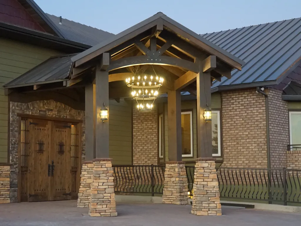


Room 15- Monument Valley
- Free Cancellation
 Hotel Room93 mi1 / 52Photo 1 of 52


Room 23- Kaibab
- Free Cancellation
 Hotel Room93 mi1 / 52Photo 1 of 52
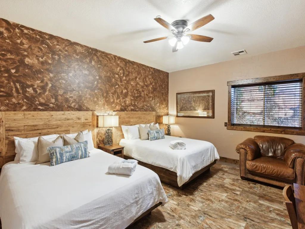


Room 12- Gooseberry Mesa
- Free Cancellation
 Hotel Room93 mi1 / 50Photo 1 of 50


Room 14- Capital Reef
- Free Cancellation
 suite93 mi1 / 51Photo 1 of 51


Room 31- Sunset Suite
- Free Cancellation
 Hotel Room93 mi1 / 52Photo 1 of 52
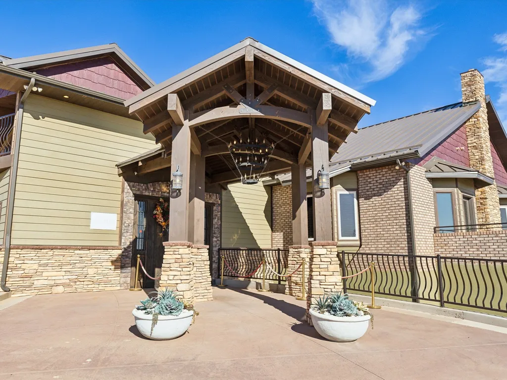


Room 21- Grand Canyon
- Free Cancellation
