condo1.2 mi1 / 13Photo 1 of 13


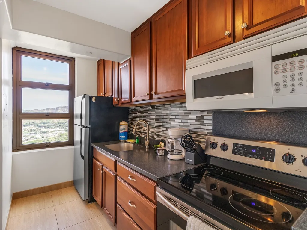
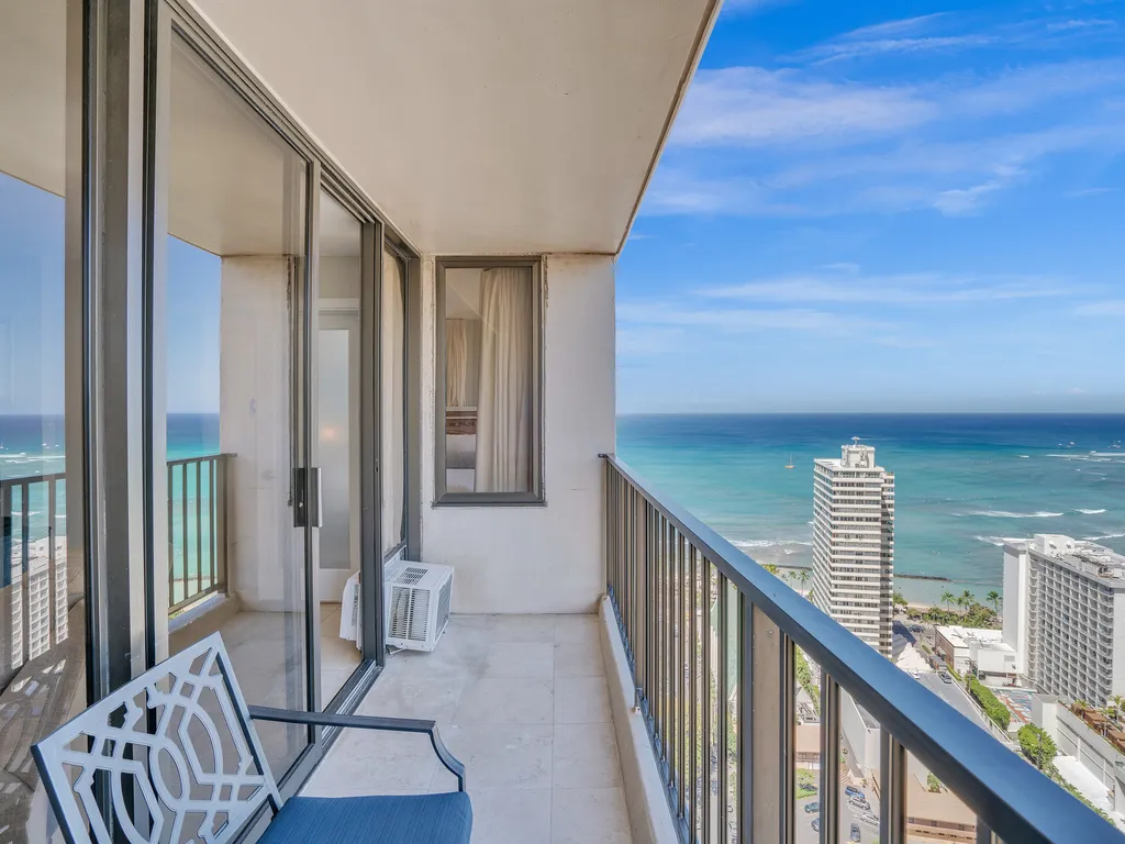
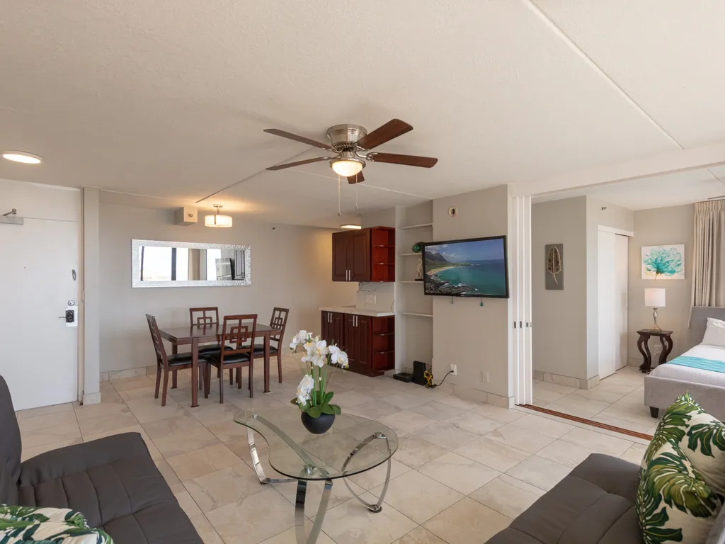
Oahu Tradewinds Plaza 601
- Free Cancellation
A 300,000-year-old volcanic crater on Oahu's south shore — known to Native Hawaiians as Lēʻahi — that anchors every Waikiki photograph. The 0.8-mile trail climbs 560 feet through a 1908 military bunker network to a 762-foot summit with a 360-degree view of the Pacific, Honolulu, and the Koolau Range.
Diamond Head — known to Native Hawaiians as Lēʻahi, "forehead of the tuna" — is the eroded southern tuff cone of the Koolau volcanic series. The crater formed in a single eruption roughly 300,000 years ago, has been extinct for 150,000 years, and covers 350 acres ringed by walls up to 762 feet tall. British sailors gave the modern name in the 1820s after mistaking calcite crystals on the slope for diamonds.
The 0.8-mile summit trail begins inside the crater and climbs 560 feet through switchbacks, a 99-step staircase, a 225-foot lighted tunnel, a second 76-step staircase, and a Fire Control Station built between 1908 and 1910 as part of Oahu's coastal defense system. Concrete bunkers from WWI and WWII still line the rim. The view at the top covers Waikiki, Honolulu, the Pacific from Koko Head to Pearl Harbor, and on clear days the windward Koolau ridge.
Plan 1.5–2 hours round trip and start before 9:00 AM — the trail has zero shade and Honolulu temperatures hit the mid-80s by mid-morning. Reservations are mandatory for non-residents and the 6:00 AM sunrise slot is the most-booked time in Hawaii's state park system. Sturdy shoes only; a lighted phone helps in the tunnel.
A short loop through the exhibits, encounters, and shows that make this stop worth a half-day on its own.
An out-and-back trail that climbs 560 feet from the crater floor at 200 feet to the summit at 762 feet. Paved for the first half, then concrete switchbacks, the 225-foot Fort Ruger lighted tunnel, a 99-step staircase, and a final 76-step climb to the Fire Control Station.
The white concrete bunker at the summit was built in 1910 as the spotting station for Battery Harlow and Battery Granger, directing the 12-inch coastal guns dug into the crater walls. Walk through the original gun-direction room and step out onto the open observation deck.
A lighted concrete tunnel cut directly through the crater wall in 1908. Most visitors miss the small displays of original Coast Artillery hardware mounted on the walls. Tunnel temperature is consistently 10 degrees cooler than the trail; a useful breather between staircases.
The 6:00 AM reservation slot is the only way to be on the rim before sunrise; gates open at 6:00 AM and the summit is roughly 35 minutes from the trailhead. Sun crests the Koolau range over Koko Head; book exactly 30 days in advance the moment the slot opens at midnight HST.
The trailhead sits inside the original 1907 Fort Ruger reservation — Hawaii's first U.S. Army installation. The vehicle entrance to the crater (Birkhimer Tunnel, 1942) was bored straight through the rim during WWII. Free interpretive signage along the access road inside the crater floor.
Pre-contact Native Hawaiians built a heiau (temple) on the summit dedicated to the wind god — protection for the navigation fires lit on the crater rim to guide canoes from Koko Head to Pearl Harbor. Little of the original structure survives, but the wayside marker on the rim explains the cultural history.
On clear mornings the view runs from Koko Head 8 miles east, across Waikiki and downtown Honolulu, past Pearl Harbor 12 miles west, and over the Koolau range north. The viewing platform was built in 2005 over the 1910 spotting station. Bring a wide-angle lens.
If the reservation slot fills, the free public lookout on Diamond Head Road just east of the entrance gate gives the same iconic Waikiki-with-Diamond-Head perspective that fills every postcard. No fee, street parking, and 12 minutes by Lyft from any Waikiki hotel.
Open 6 AM–6 PM daily; closed Christmas Day and New Year's Day. Non-residents must reserve in advance via gostateparks.hawaii.gov.
Note · Last entry slot is 4:00 PM. Gates close at 6:00 PM and rangers enforce exit times.
Per-person admission. Buy in advance to skip the gate line.
Reservations open 30 days in advance at midnight HST and the 6:00 AM sunrise slot sells out within hours. Two-hour parking slots; one-hour slots for walk-ins. Bring water — the trail has zero shade and a closed concrete bunker section near the summit.
Reserve Diamond Headcondo1.2 mi1 / 13Photo 1 of 13 condo1.2 mi1 / 23Photo 1 of 23
 condo1.3 mi1 / 23Photo 1 of 23
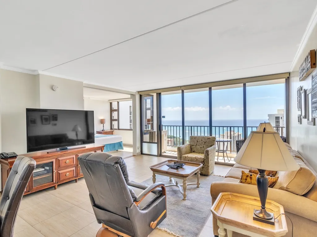 condo1.3 mi1 / 33Photo 1 of 33
 condo1.3 mi1 / 25Photo 1 of 25
 condo1.3 mi1 / 24Photo 1 of 24
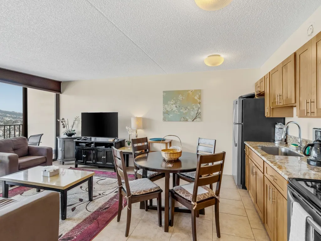 condo1.3 mi1 / 34Photo 1 of 34
 condo1.3 mi1 / 24Photo 1 of 24
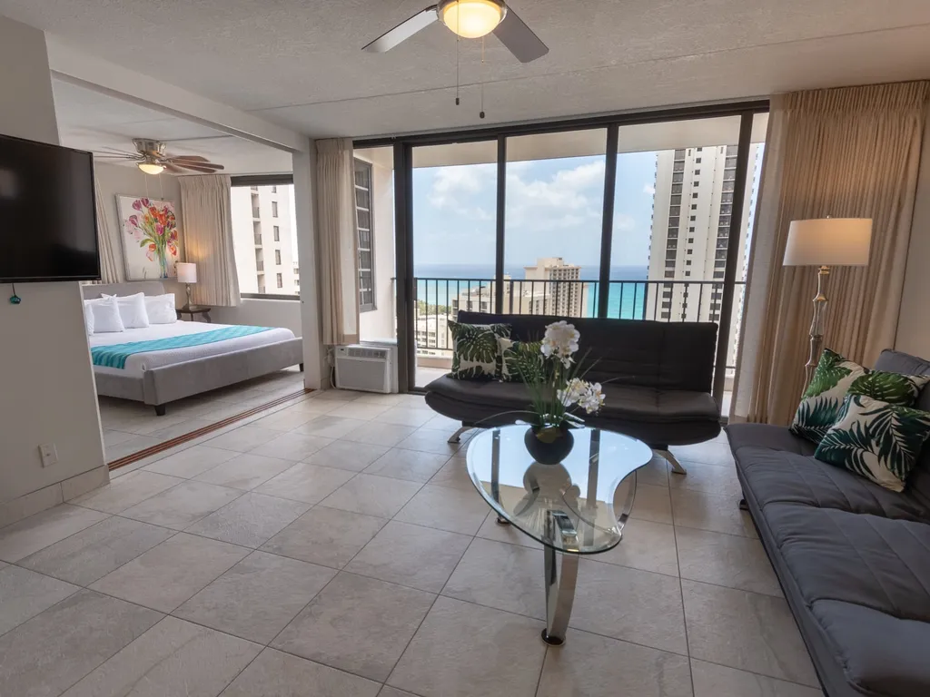 condo1.3 mi1 / 23Photo 1 of 23
 condo1.3 mi1 / 18Photo 1 of 18
 condo1.3 mi1 / 27Photo 1 of 27
 condo1.3 mi1 / 27Photo 1 of 27